Boundary conditions
Via Gene Veith I found an interesting new blog called Strange Maps, which is exactly what you would expect -- unusual depictions of geography both real and imaginary.
Some of the maps are of never-realized political entities, such as the county lines drawn by the 1905 constitutional convention of the proposed State of Sequoyah. The accompanying text explains the formation of the Twin Territories, the history of the convention and the reason the state, which would have included the territory of the Five Civilized Tribes, never came into being. The map has the Sequoyah counties superimposed on the same range and township grid that we still use today, so it's easy to tell that Coweta County would have been east of Yale, between Archer and the Arkansas River, with Euchee County to the west and Cooweescoowee County to the north. Oklahoma's state seal owes much to the Sequoyah seal.
What caught my eye was this map, apparently from the wall of a Niketown store, of the "United Countries of Baseball" -- an attempt to map fan loyalties to Major League Baseball teams. It's especially interesting to see where they place loyalties to teams that share a city (Cubs/White Sox, Yankees/Mets) and how they split areas that are roughly equidistant from more than one MLB city. I think the Cardinals/Rangers line is too far east; Tulsa should be right on the border.
Here is a site called CommonCensus which is collecting and using online survey data to plot the same sort of map, not only for baseball, but for other major league sports, college football, and city spheres of influence. The baseball map puts northeastern Oklahoma predominantly in Cardinal Country. There are some surprisingly large Boston Red Sox enclaves in upstate New York, particularly in the Finger Lakes and Adirondacks regions. (Guess I shouldn't have been too surprised.)
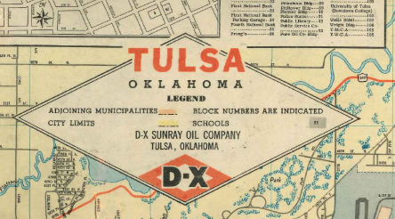
The city-influence regions seem to follow TV and newspaper market areas pretty closely. Tulsa's zone is the 918 area code, plus a bit of southeastern Kansas, minus a strip along the Arkansas border that more closely identifies with Fayetteville or Fort Smith.
commoncensus.org are still collecting data, although they haven't updated their maps in many months. You can participate in their survey from the home page.


